WORLD — SOUTH ASIA
India and Nepal Floods Kill 70: What Residents and Travelers Should Know
Days of intense rain have triggered floods, landslides and widespread disruption. The death toll is confirmed, but river levels, local warnings and transport conditions can change quickly.
By Health Politics Daily News Desk · Published Sunday, September 27, 2026 at 8:00 a.m. America/New_York · Approximately 7 minutes
Verified Baseline
At least 70 people have died across India and Nepal
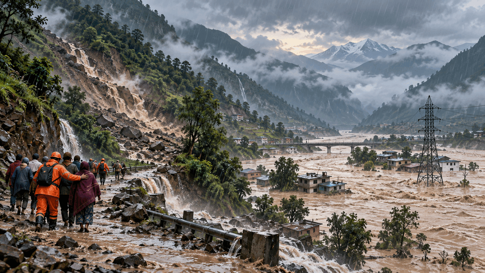
Authorities reported 56 deaths in India after roughly 60 hours of heavy rain and storms. In Nepal, 14 people have died and 11 remain missing in the weather emergency that began Thursday. Nepal issued flash-flood warnings across 49 of its 77 districts.
The totals come from national and local authorities cited by Reuters in its September 27 update. They are a snapshot, not a final accounting: search operations, hospital reports and access to isolated communities can change the numbers.
India
Rivers are above danger levels and more than 1,000 homes are damaged
India reported 46 injuries and damage to more than 1,000 houses. The Central Water Commission classified conditions at 30 monitoring stations across seven states as severe, with the Ganga, Gandak, Kosi, Bagmati and Narmada among the rivers above danger levels.
Rainfall in Uttar Pradesh reached 66.5 millimeters from September 25 through 27, compared with a normal 7.6 millimeters for that period. That comparison describes an extreme rainfall departure; it does not mean every district received the same amount or faces the same risk.
The India Meteorological Department warned of isolated heavy to very heavy rain in Uttarakhand and western Uttar Pradesh as a depression moved across central India. Its national flash-flood guidance bulletin also identified localized risk in parts of Himachal Pradesh and Uttarakhand. A forecast warning is not evidence that flooding will occur at every named location.
Nepal
Flooding has cut power and damaged hydropower infrastructure
Power was completely disrupted in Manang, Mustang, Myagdi and Baglung, according to Nepalese officials cited by Reuters. The Rahuganga River damaged a 40-megawatt hydropower project and transmission towers, illustrating how the emergency can affect communications, transport and essential services far beyond a flooded riverbank.
Residents should use Nepal’s official BIPAD disaster portal and local authority alerts for conditions near them. National warning totals cannot substitute for district-level evacuation instructions or road-closure information.
Important Distinctions
Three separate events should not be combined
Nepal is still recovering from catastrophic flooding in August, when more than 1,450 people died. The 14 deaths reported in the current late-September weather emergency are new and are not an update to that older toll.
Separately, an avalanche at the Himlung Himal base camp left 10 local workers missing. Foreign climbers were not at the base camp at the time, according to Reuters. Those 10 people are not included in the current flood and landslide missing count of 11. Keeping the incidents separate prevents an inflated or misleading total.
Practical Implications
What residents and travelers should check
- Follow official weather, river-gauge and local disaster-management alerts; conditions upstream can change downstream risk quickly.
- Do not walk or drive through moving floodwater. Road depth and damage are difficult to judge, especially at night.
- Expect delays or cancellations on mountain roads, rail routes and flights; verify conditions directly with operators before travel.
- Keep phones and backup batteries charged where power remains available, and preserve drinking water and essential medicines if local authorities advise sheltering.
- In steep terrain, move away from freshly cracked slopes, falling rocks and fast-growing streams, and follow evacuation orders promptly.
This is general public-safety information, not a substitute for instructions from emergency officials at a specific location.
Bias Lens: how the flood emergency is framed
Authorities reported 56 deaths in India and 14 in Nepal, with 11 people missing in Nepal’s current weather emergency. River, flash-flood and landslide risks remain active, but severity varies by location.
Reuters, used as the center baseline, combines the two countries’ tolls and emphasizes rising rivers, infrastructure disruption and the unusually intense rainfall. The India Meteorological Department is narrower and operational, focusing on forecast districts, rainfall intensity and the weather system driving the risk. Nepal’s BIPAD portal organizes official incident and alert information for local use. This is a fast-moving disaster, not a meaningful left-versus-right policy dispute; forcing a partisan comparison would add little. The useful framing difference is between a regional news overview, a meteorological forecast and local emergency information.
What Remains Uncertain
Casualty totals and local warnings may change
Search teams have not reached every affected area, and power or communications outages can delay reports. Rainfall forecasts also change as a weather system moves. The next consequential updates will be revised casualty numbers, river-gauge readings, reopened transport links and changes to district-level warnings.
Principal Sources
Evidence and reporting used
- Reuters — authority reports, casualty totals and infrastructure impacts
- India Meteorological Department — current heavy-rain forecast
- India Meteorological Department — national flash-flood guidance bulletin
- Nepal BIPAD — official disaster-information portal
No suitable directly relevant authorized video with clear embedding permission was available.